Walking through landscapes of Laurisilva, climbing mountains to contemplate the best views, traversing paths formed by lava and entering deep ravines dotted with small hamlets; these are some of the possibilities offered by the exceptional hiking trails in the Rural Park of Anaga.
The Anaga massif, a mountainous formation in the northeast of the island, is an ideal place for hiking. In 2015, it was declared a biosphere reserve by UNESCO and it is the place with the largest number of endemic species in Europe. Every year, a multitude of hikers from all over the continent congregate here.
We take a tour of the essential trails of this exceptional area of the island and turn this experience into a unique opportunity to discover spectacular landscapes and hidden corners.
Hiking trails in the Rural Park of Anaga
TRAIL OF THE SENSES (1, 2 and 3)
Start / End: Cruz del Carmen
Difficulty: Accessible in a wheelchair
Type of route: Linear
Distance and duration: 0.34 km (10 min.) 0.54 km (15 min.) & 1.27 km (30 min.)
If you can only choose one, this is the essential trail to follow, from the many which exist in this area. From Cruz del Carmen, there are 3 variants that run alongside the old road that linked the towns of Anaga and the city of La Laguna. All offer different experiences through smell, sight and touch, with which to discover the different elements of the environment. Therefore, there are sensory signs (nose, hand, eye) to try to capture your attention so that you smell, touch or look at a certain element along the path. The three routes are fully adapted for people with motor or sensory disabilities. These are routes with a very low degree of difficulty and, despite their reasonable length, it is recommended to use suitable, closed footwear. You will want to stop frequently and enjoy the sensations that nature transmits.

TRAIL AFUR – TAGANANA – AFUR
Start and end: Afur
Difficulty: Medium
Type of route: Circular
Distance and duration: 14km, 7h.
The tour begins in the square of Afur, a small town faithful to traditional Canarian architecture, composed of cave houses and peasant dwellings made from dry stone with thatched roofs. It descends by a very easy and simple path through the ravine of the same name, until it reaches Playa de Tamadite beach. From here, the path ascends to the Caserío del Chorro and the town of Taganana, enjoying one of the best views of this area. It then continues through the Monte de las Vueltas to the forest house and back to Afur by way of Inchirés. Alternatively, it can be made shorter by returning the same way. A 14-kilometre route with medium difficulty.

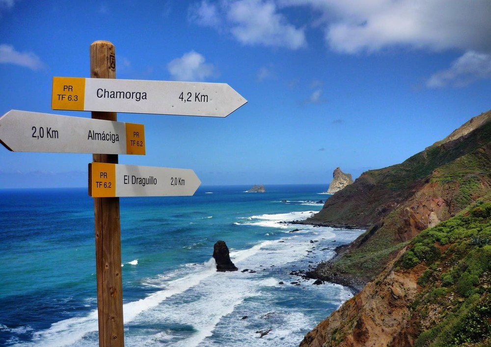
CHAMORGA TRAIL – ROQUE BERMEJO
Start and end: Chamorga
Difficulty: Medium
Type of route: Circular
Distance and duration: 4.5km, 2h.
It begins in the square of the village of Chamorga, which has around 100 inhabitants, and ascends along a signposted path to the rock of El Pilón, which is always visible in this section. Then, passing the Paso de la Burra and ascending by stone steps carved into the mountain, we arrive at the Casas de Tafada, an old farmhouse that today is in a state of neglect. From here, the descent begins until we reach the spectacular viewpoint of La Asomada, with marvellous views. We overlook the coast and can see the Roques de Anaga and the Lighthouse.
Similarly, the trail continues its descent to the Anaga Lighthouse, the first to enter into operation in the Archipelago. We continue the descent to a farmhouse with special charm, Roque Bermejo, which has a dozen houses, a rudimentary dock and two beaches. A 4-kilometre route with a medium level of difficulty that stands out due to the impressive views and the possibility of taking a dip in the Atlantic if the weather permits it.

CHINAMADA TRAIL – PUNTA DEL HIDALGO
Start and end: Chinamada, Punta del Hidalgo
Difficulty: Medium
Type of route: Linear
Distance and duration: 4.7km, 2 h. 15 min.
The trail starts in Chinamada, a traditional aboriginal farmhouse of great ethnographic interest, and follows a signposted path in the direction of “La Punta del Hidalgo” through the Barrandero del Tomadero, which is very steep in nature and follows a path completely carved in stone. Along the way we can see the terraces planted with crops, and above all, the caves that can serve as a rest stop where we can regain strength. After that, in the last part of the itinerary, we can enjoy rugged landscapes and impressive cliffs until we reach the coast of Punta del Hidalgo. Almost 4 hours of walking with a degree of medium difficulty in which we will complete almost 11 kilometres in distance including 1,300 metres of cumulative descent.